

You can find on this page the blank map of Greece to print and to download in PDF. The contours map of Greece presents the international boundary of Greece in Europe. You can use the vector map of Greece for personal or educational use.
The blank map of Greece shows the country Greece empty. This blank map of Greece will allow you to use the map for personal activities or educational with children for example (drawing). The empty map of Greece is downloadable in PDF, printable and free.
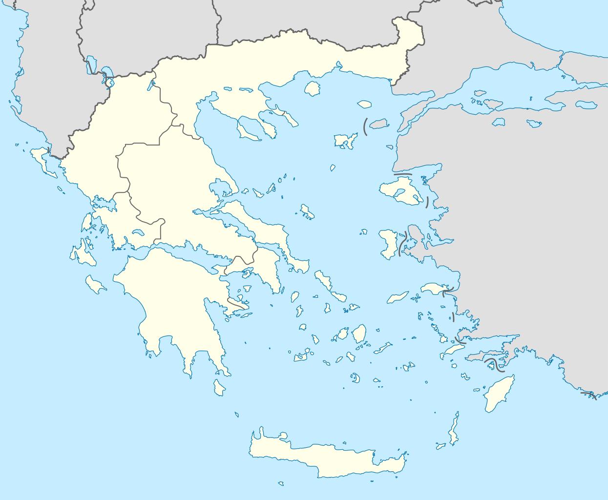
Blank map of Greece is showing Greece and the surrounding countries with international borders, administrative boundaries, the national capital Athens (Athina), administrative capitals, major cities, and the location of Mount Athos (Agion Oros) and Mount Olympus (Oros Olympos, highest peak Mytikas, 2 917 m (9 570 ft)).
You can select background of the Blank map of Greece colored or transparent and download the map in PNG, PDF or SVG(vector) formats. You can convert SVG (vector) map of Greece to EPS, vector PDF etc. using free Inscape program. For creating coloring page of the Blank map of Greece, you can use "black-white" button (For kids, kindergarten painting activity).
Greece is located in south eastern region of the European continent, on the far southern edge of the Balkan Peninsula. Greece lies at the juncture of the continents of Europe, Asia and Africa. It is positioned both in the Northern and Eastern hemispheres of the Earth. Greece as you can see in the Blank map of Greece lies at the juncture of the continents of Europe, Asia and Africa.

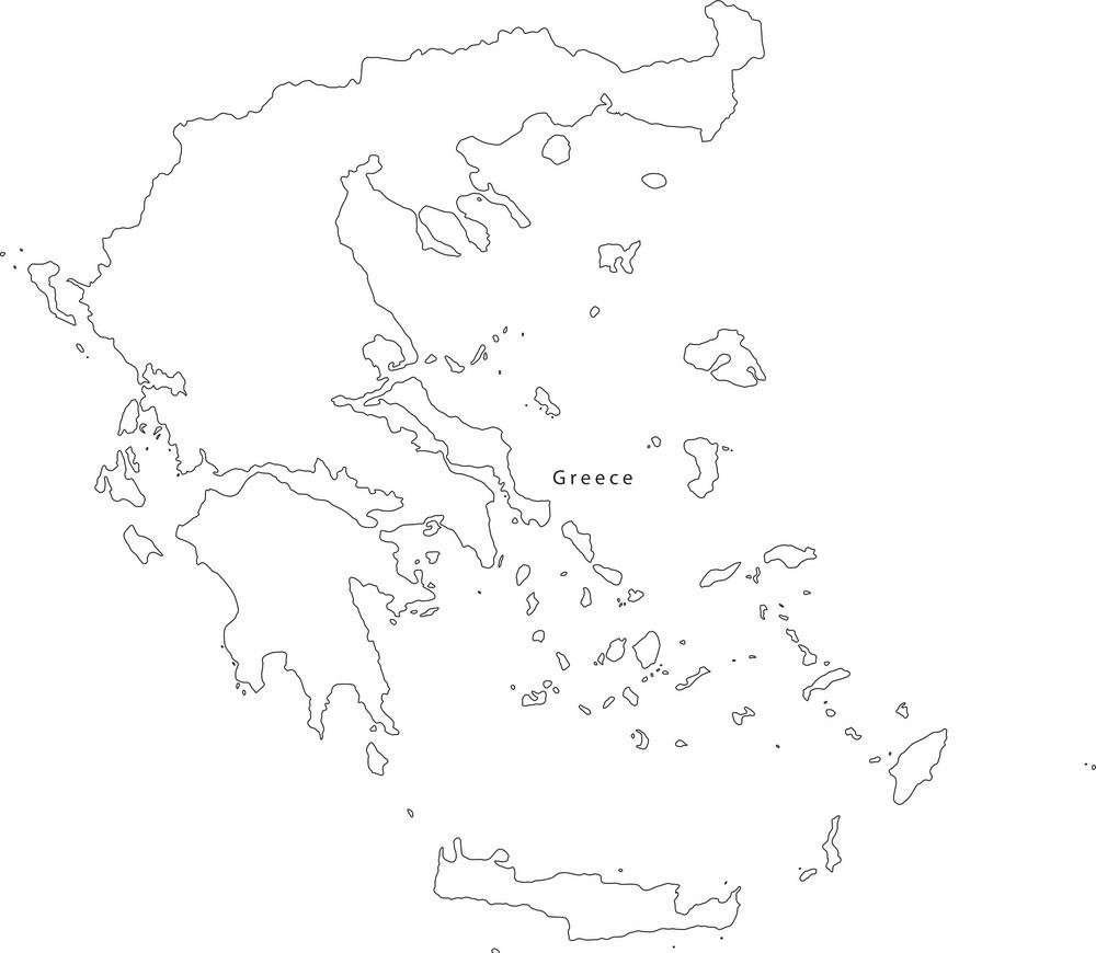
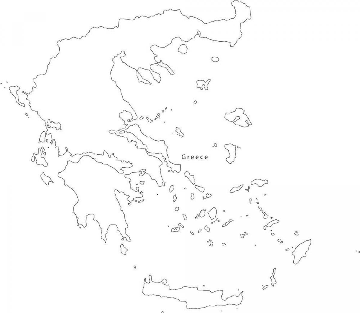
The Greece map outline shows all the contours and international boundary of Greece. This outline map of Greece will allow you to easily learn about neighboring countries of Greece in Europe. The Greece contours map is downloadable in PDF, printable and free.
Greece map outlines represents the sovereign European nation of Greece. As observed on the map above, the country has a large territory and several smaller, scattered ones. The large part is mainland Greece that is part of mainland Europe. The smaller ones are offshore islands of Greece in the Mediterranean Sea.
This basic map of Greece outlines allows you to add only what you need. Students will find this outline map of Greece handy for school projects and reports. When using the Greece map outlines, be aware that it only shows Greece. Based on maps like these, some people believe that Greece itself is an island, but this is not the case.
Not shown on this outline map, Greece is attached to the European mainland all along its northern border with Albania and F.Y.R.O.M (the acronym for "Former Yugoslav Republic of Macedonia", which is at the heart of an ongoing name dispute with Greece, as Greece believes that only Greece should be able to use the name "Macedonia", the homeland of Alexander the Great and his father, Philip of Macedon).
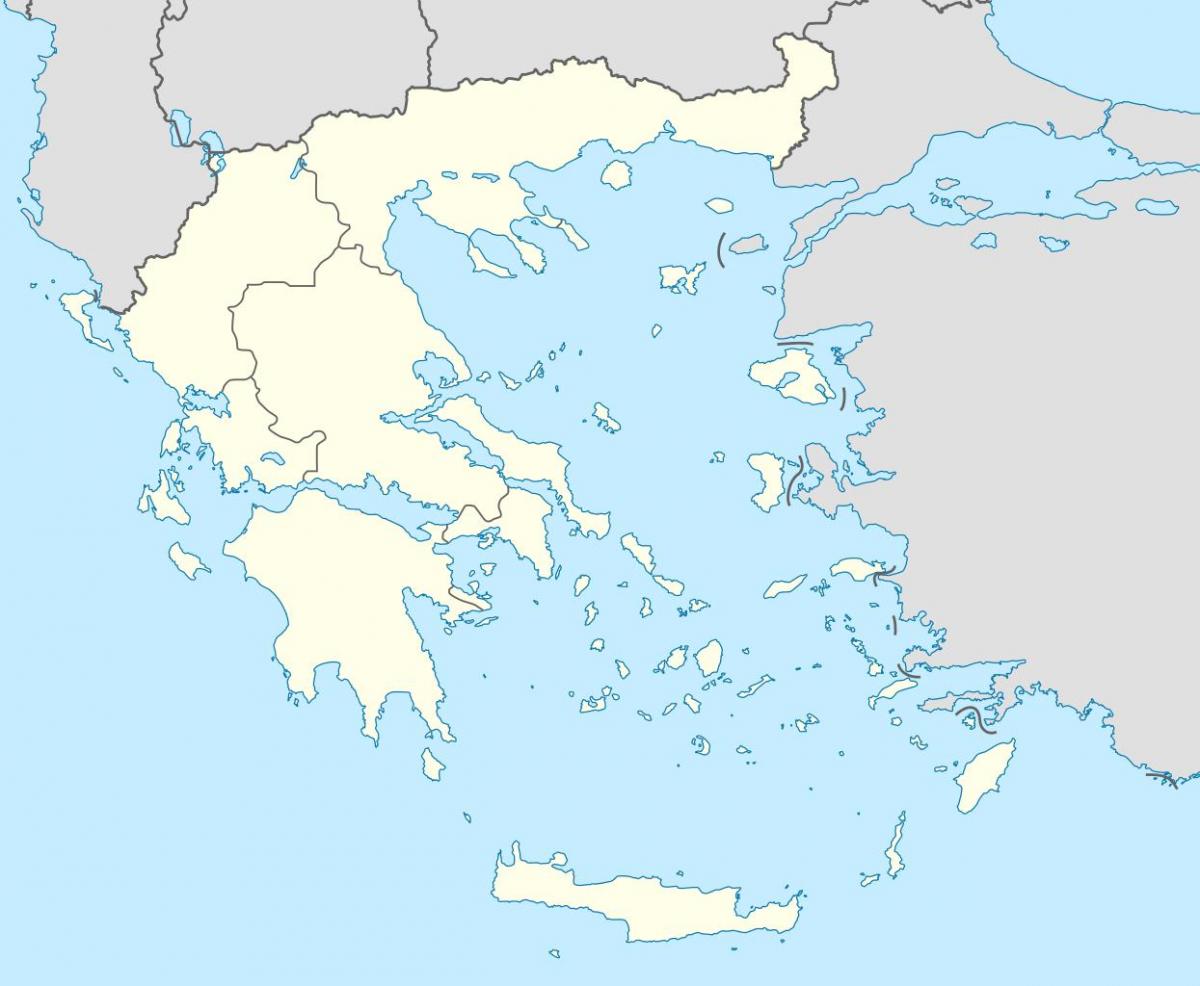
The vector map of Greece shows entire surface of Greece empty. This vector map of Greece will allow you to make changes or add details to the map of Greece in Europe, for personal or educational purposes. The vectorial map of Greece is downloadable in PDF, printable and free.
Greece is a small country in southern Europe. It is shaped somewhat like an outstretched hand, with fingers of land that reach into the Mediterranean Sea as its shown in Greece map vector. A peninsula is land that is surrounded on three sides by water. Greece also includes many islands throughout the Mediterranean and the Aegean (ih-JEE-uhn) seas.
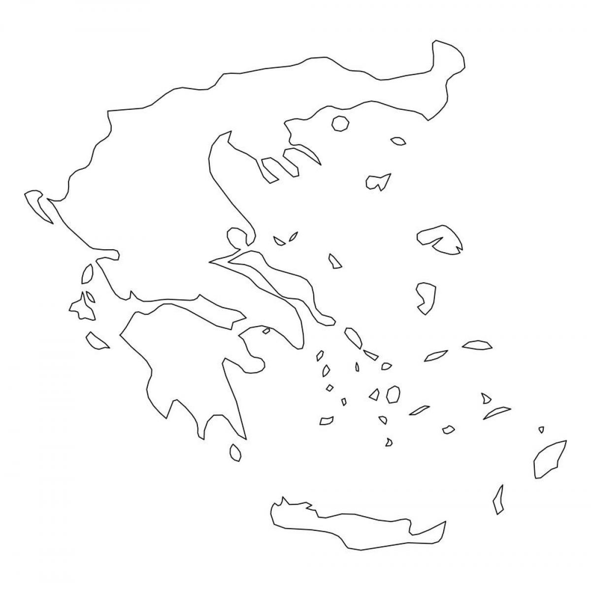
A graphic illustrated vector image showing the outline of the country Greece. The outline of the country is filled with a dark navy blue colour as its mentioned in Greece map vector and is on a plain white background. The border of the country is a detailed path. you can Download blank vector map of Greece.
Printable and editable vector map of Greece outline showing country outline and flag in the background. The mainland of Greece is a peninsula. The package as you can see in Greece map vector contains all available file formats, normally delivered with our premium maps, both for the printable and editable option.